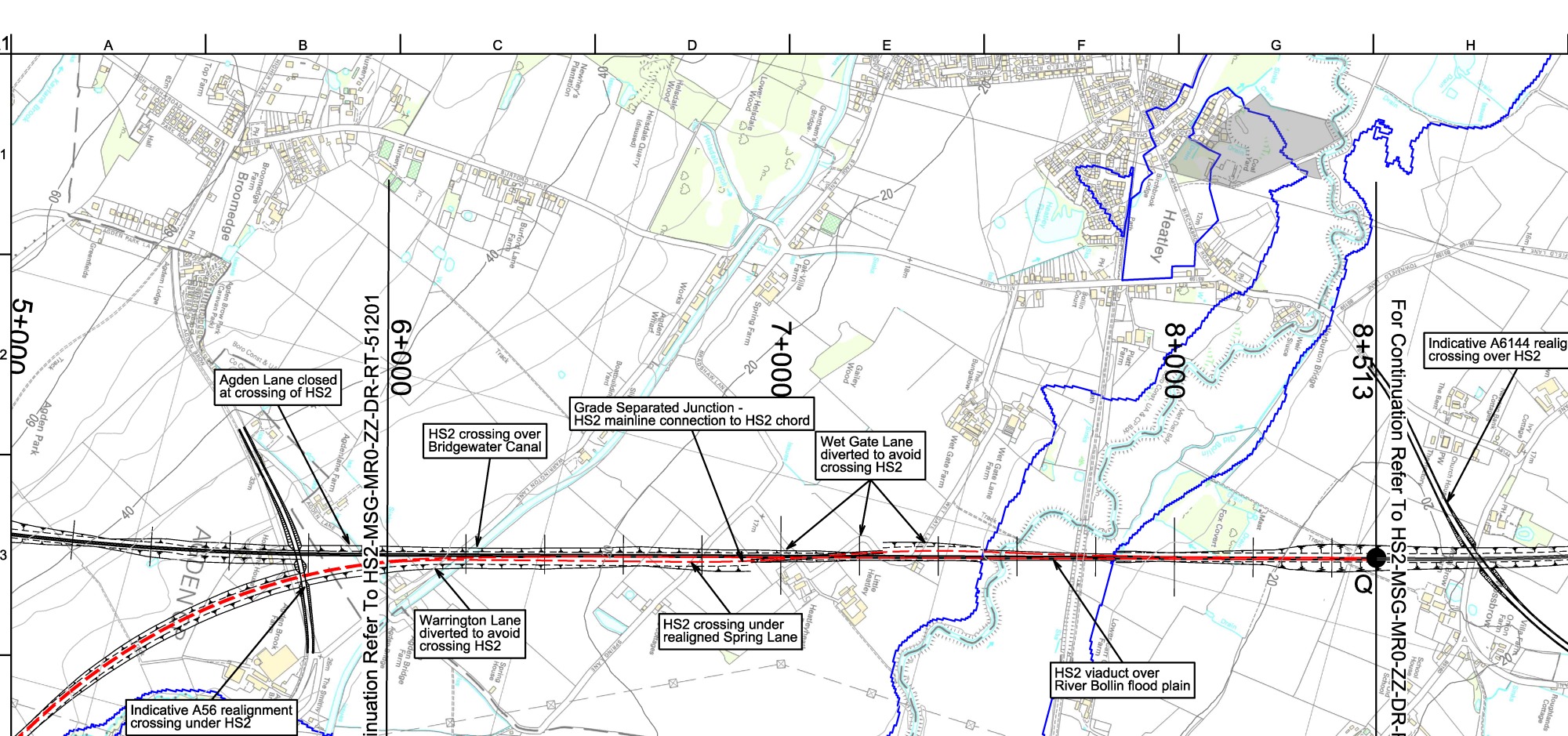
This map was generated by
www.thehs2.com.
It was derived from
a PDF
released with the
Open Government Licence
by the Department for Transport.
The PDF
provides more information and has a map covering a larger area.
Here is a link to see the area near to grid reference SJ711878
in a map at www.streetmap.co.uk.