![]() thehs2
thehs2
these web pages
are being produced by
Barry Cornelius

home
London to WestMids
Phase 1
maps
locations
KMLs
WestMids to Crewe
Phase 2a
maps
KMLs
official DfT data
Crewe to MCR
WestMids to Leeds
Phase 2b - 2016
maps
KMLs
official DfT data
Phase 2b - 2013
maps
KMLs
official DfT data
Other web pages
what is the HS2?
links
tweets
contact
privacy
Mid Colne Valley and the proposed HS2
The information on this web page was prepared in 2012. It has not been updated since then and so it may no longer be correct.
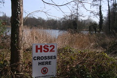
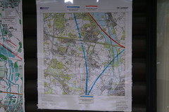
Below you can see a map from the Ordnance Survey. After a short while, a coloured line will appear superimposed onto it. This line shows the route of the proposed HS2 in the Mid Colne Valley. The line should be accurate as it is derived from data for the post consultation route that was published by the Department for Transport in January 2012.
This line is coloured blue for viaducts, yellow for embankments and red for cuttings.
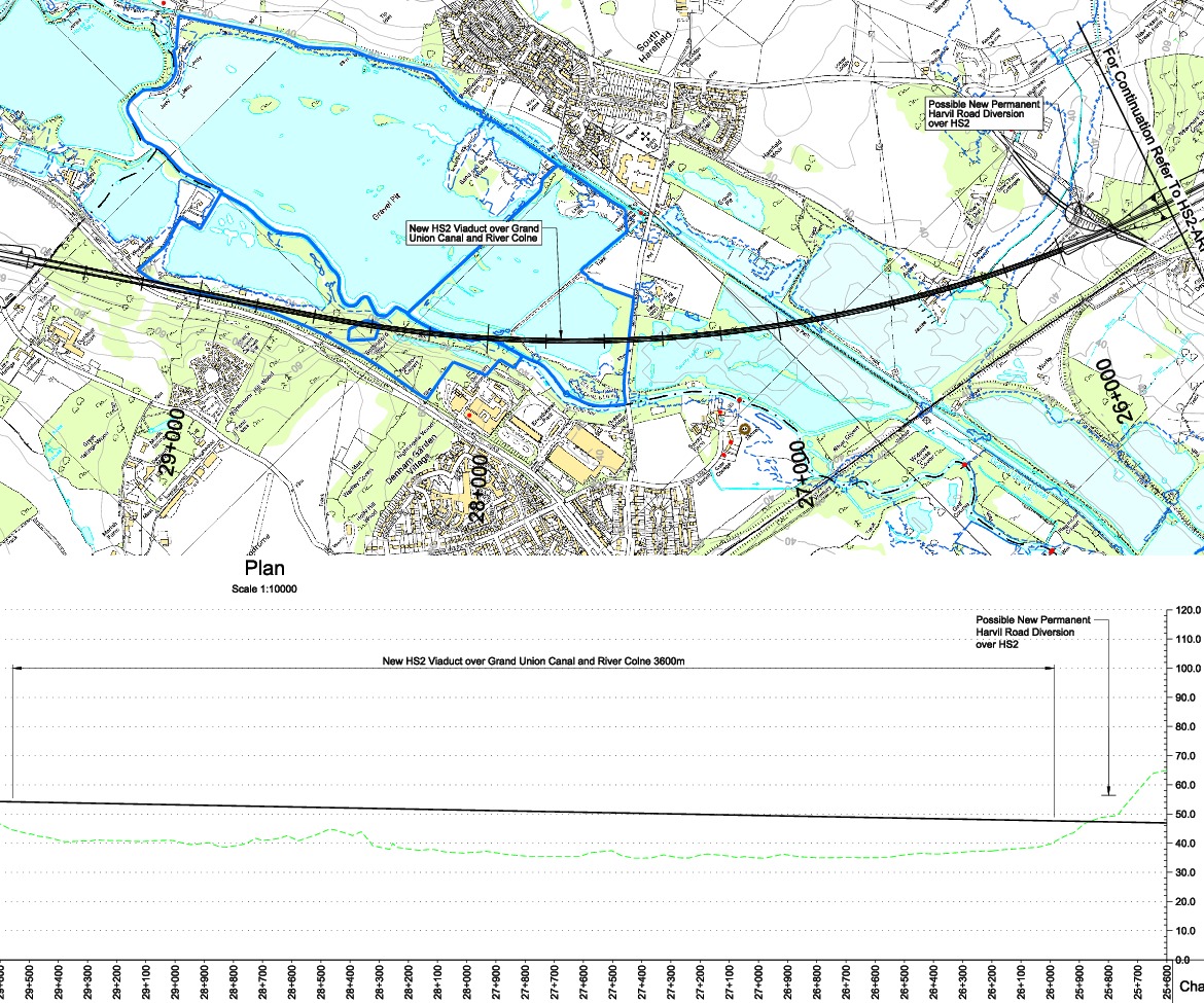
The viaduct is about 3.6K long.
how to use the map below on your own web page
The viaduct
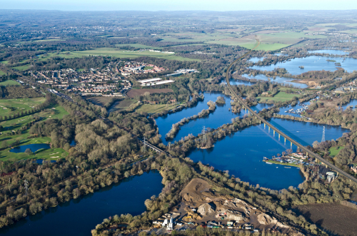
This photo shows the impact of the viaduct on the Mid Colne valley. It is a computer generated image released by HS2. It is taken from First look at HS2 viaduct over Harefield lakes.
Here is an image derived from
a map provided by the Department for Transport.
The image shows the plan and the elevation of the viaduct.
It seems to me that the viaduct will be between 8 and 15 metres
above the ground.
If you click on the image and then click again, you can see a larger image.
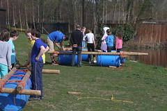
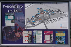
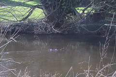
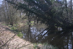
The Hillingdon Outdoor Activities Centre
The viaduct slices through the promontory used by
the Hillingdon Outdoor Activities Centre.

how to use the map below on your own web page
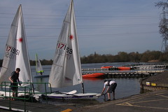
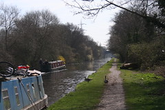
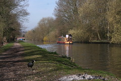
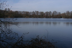
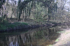
Crossing the Grand Union Canal and Savay Lake
The viaduct then crosses the Grand Union Canal and adjoins Savay Lake.
how to use the map below on your own web page
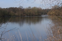
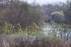
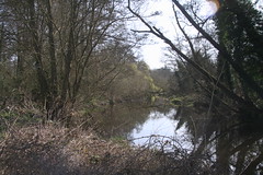
Broadwater Lake Nature Reserve
Further North, the viaduct cuts through the Broadwater Lake Nature Reserve.
how to use the map below on your own web page
In particular, it slices through the middle of Korda Lake.
The Broadwater Lake Nature Reserve forms part of the Mid Colne Valley SSSI and
is nationally important for waterbirds.
Here is a link to a
web page about the Broadwater Lake
that was produced by the Herts and Middlesex Wildlife Trust.
They regard the HS2 as a threat to the Broadwater Lake Nature Reserve.
In a press statement, they say
The proposed high speed rail route
... will
devastate habitats
and wildlife in the Denham/Harefield area.
HS2 will run through the Colne Valley, ripping through
the Trust’s Broadwater Lake Nature Reserve.
The area is home to nationally important numbers of waterbirds, which
will suffer significant habitat loss.
In addition, Daubenton’s and pipistrelle bats, which are European
Protected Species, could be
threatened. Broadwater Lake is one of the most important sites in the
UK for Daubenton’s bats.
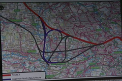
The proposed link to Heathrow Airport
On March 25th 2012,
Denham against HS2
held a mass ramble through the Colne Valley.
It visited several of the areas mentioned on this web page.
The following posters
were on display.
In phase 1 of the HS2 project,
HS2 passengers would get to Heathrow Airport
by changing trains at
Old Oak Common.
it is planned
for there to be an HS2 spur link to Heathrow Airport.
Exactly where this would go is at yet undecided.
So there are lots of options some of which are illustrated in these posters.
Some of these options would seriously affect the Denham area.
There is more about the proposed Heathrow Airport link on these web pages:
www.denhampc.co.uk,
www.uxbridgegazette.co.uk
and
www.flightmapping.com.
Credits
Four of the maps on this web page have been generated by www.thehs2.com. The underlying maps are provided by OS OpenSpace and these are © Crown copyright and database rights 2012 Ordnance Survey. The generation of the maps uses data provided by www.streetmap.co.uk. In order to superimpose an accurate line of the route of the proposed HS2, the maps also use data which was obtained from a shape file provided by the Department for Transport and released with an Open Government Licence.
There's a Department for Transport web site that has PDF files showing maps of the route. In particular, it provides a PDF that has a map showing the viaduct across the Mid Colne Valley. The other map on this web page has been derived from that PDF file.