![]() thehs2
thehs2
these web pages
are being produced by
Barry Cornelius

home
London to WestMids
Phase 1
maps
locations
KMLs
WestMids to Crewe
Phase 2a
maps
KMLs
official DfT data
Crewe to MCR
WestMids to Leeds
Phase 2b - 2016
maps
KMLs
official DfT data
Phase 2b - 2013
maps
KMLs
official DfT data
Other web pages
what is the HS2?
links
tweets
contact
privacy
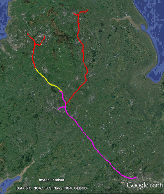
Maps showing the preferred route of Phase 2b of the proposed HS2
|
This website is no longer being maintained. An important change is that in 2023, the Government cancelled the section of HS2 between Handsacre (near Lichfield) and Manchester. Although the mapping given on this website is likely to be accurate in many places, elsewhere there will have been changes to the route. And the formation ("is it a cutting, a tunnel, an embankment, ...") may have changed.
Initially,
the Department for Transport (DfT)
proposed to create the HS2 in two phases: Phase 1 being from London to the West Midlands (including Birmingham)
and Phase 2 taking the line further North.
In 2015, Phase 2 was split into two stages: Phase 2a will be from the West Midlands to Crewe.
And Phase 2b will have two legs: one from Crewe to Manchester and the other from the West Midlands to Leeds and South Yorkshire.
As explained on this web page, there are three routes for each leg of Phase 2b. There's the consultation route (published in 2013), the preferred route (published in November 2016) and the confirmed route (published in July 2017). I have not seen any DfT data for the confirmed route (2017). So for Phase 2b, there are two maps links in the menu on the left: one to maps showing the preferred route (2016) and the other to maps showing the consultation route (2013). As explained on this web page, for most of the route for Phase 2b, it is appropriate to look at the maps for 2016. However, for Measham the route will be a modified version of that shown in the maps for 2013. This web page provides maps for the preferred route of Phase 2b. You can choose the underlying map to be from OpenStreetMap or Bing. The route on these maps should be accurate as it is derived from data provided by the Department for Transport in November 2016 for the preferred route of Phase 2b. To see a map showing how close the preferred route for Phase 2b comes to some place, type into the box below the name of the place (e.g., Kegworth), a postcode (e.g., DE74 2ED) or a grid reference (e.g.,SK486267, SK48682675 or SK4868126752). Then click the search for place button. If you type in the name of a place, you don't have to type in all of the name and the searching doesn't worry about capital letters. So, for example, instead of Kegworth you could type in keg and it would find any place that has keg as part of its name. The name can be that of a town, a village, a farm, an ancient woodland or a SSSI. The DfT's collection of maps for the confirmed route for Phase 2b are available from this web page. |
|